Coverage RegisterLeeds & District
Leeds And The Surrounding Districts.
Commercial fire safety enquiries across Leeds and nearby business districts. Confirm the premises postcode when you get in touch.
Coverage By PremisesThe Postcode Is The Starting Point
We confirm the location, building use and access requirements before an appointment is agreed. The locations below describe the area, without implying an office or previous project at any named site.
Check Your Location → Leeds City Centre
Leeds Station’s southern entrance connects with Granary Wharf. The council’s Temple District boundary also takes in the Globe Road and Water Lane sites. For premises in shared developments, identify the managed common areas before agreeing the inspection scope.
Leeds City Council: Temple DistrictArea / 02Holbeck
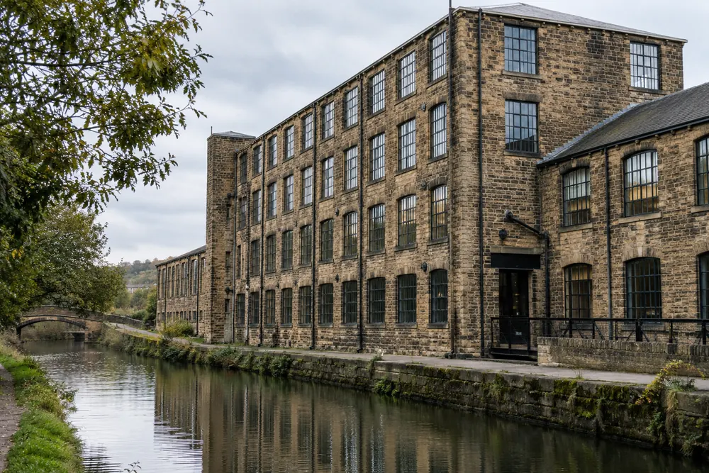
Temple Works and the Round Foundry sit within the Temple District identified by Leeds City Council. Marshalls Mill is also included in that boundary. For converted premises, provide current plans and any available fire strategy information.
Leeds City Council: Temple DistrictArea / 03Kirkstall
Kirkstall Forge includes office development and its own railway station. The combined authority describes the station as part of the regeneration project. Tell us whether your instruction covers a whole building, a suite or shared areas.
West Yorkshire Combined Authority: Kirkstall ForgeArea / 04Stourton
Stourton Point Industrial and Distribution Park is on Haigh Park Road. Its published location information identifies access to the M1 and M621. Warehouse enquiries should describe stored goods, shifts and access arrangements.
Towngate: Stourton PointArea / 05Morley
Little Fountain Street Light Industrial Estate is close to Morley town centre. The council describes red brick units with profiled metal sheet roofs. Let us know about workshop processes and any changes to the premises.
Leeds City Council: Industrial EstatesArea / 06Pudsey
Grangefield Industrial Estate is located on First Avenue in Pudsey. The property owner identifies its access to the A647 ring road. Include any linked units or shared yards when describing the area you control.
Mileway: Grangefield Industrial EstateArea / 07Headingley
Headingley Stadium is served by the A660 route. Yorkshire County Cricket Club’s directions identify the Kirkstall Lane entrance. Business enquiries should explain normal and event-related occupancy where this affects the premises.
Yorkshire CCC: Getting To HeadingleyArea / 08Harehills
Ashton Road Industrial Estate is in Harehills. The council describes single-storey brick light industrial units there. Explain any shared facilities and arrange access to all areas included in the instruction.
Leeds City Council: Industrial EstatesArea / 09Upper Wortley
Cross Lane Industrial Estate is on Upper Wortley Road. Its council listing describes single-storey block and brick units with pitched steel roofs. Tell us how your unit is used and whether neighbouring occupiers share escape arrangements.
Leeds City Council: Industrial EstatesArea / 10Kippax
Ledston Luck Enterprise Park is on Ridge Road in Kippax. The council lists industrial accommodation and an office block on the estate. Include both uses in your enquiry if the instruction needs to cover workshop and office space.
Leeds City Council: Industrial EstatesArea / 11Seacroft
Seacroft Light Industrial Estate is on Limewood Approach. The council identifies the estate beside the outer ring road, close to the A58 and A64. Send the exact premises postcode when asking us to confirm coverage.
Leeds City Council: Industrial EstatesNeed To Assess A Nearby Site?
Send the postcode and premises details. We will confirm whether the location and work required can be covered.
Make A Coverage Enquiry →